Facilities management operations require precise coordination of maintenance protocols and spatial utilization. Traditional methodologies utilizing static schematic diagrams often yield operational inefficiencies. This document details the application of 3D digital twins as a centralized spatial database, providing facility administrators with quantifiable oversight and operational control.
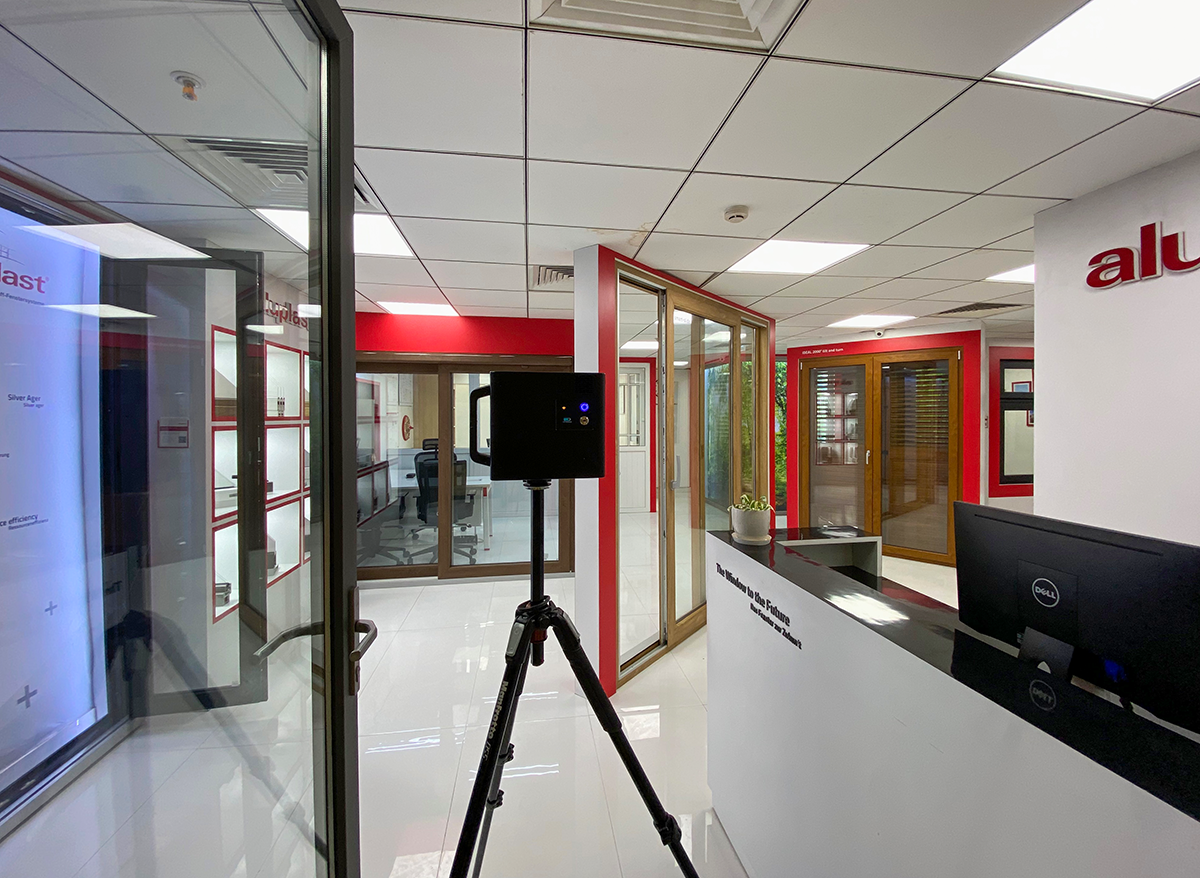
A 3D digital twin constitutes a dimensionally accurate geometric replica of a physical facility, generated via spatial scanning equipment. It functions as the primary data repository for as-built infrastructure conditions.

Operational Protocol 1: Remote Infrastructure Oversight and Asset Management
For administrators managing distributed real estate portfolios, 3D digital twins mitigate the requirement for physical site transit. The spatial database facilitates remote inspection of mechanical assets, safety infrastructure, and general building conditions.
- Remote Asset Inspections: Execute virtual site evaluations for routine maintenance audits, vendor assessments, and incident damage documentation, optimizing travel expenditure and diagnostic time.
- Spatial Data Integration: Alphanumeric data and multimedia annotations are embedded directly onto asset geometries within the 3D model. These spatial anchors link to maintenance logs, schematic manuals, computerized maintenance management systems (CMMS), and IoT sensor telemetry.
Operational Protocol 2: Maintenance Workflows and Emergency Preparedness
Spatial documentation supports predictive maintenance workflows and emergency response planning by establishing exact visual and spatial context.
- Vendor Dispatch Coordination: Upon incident identification, specific spatial coordinates and asset visualizations are transmitted to external vendors. This protocol enables accurate remote diagnostics, ensures appropriate component procurement prior to dispatch, and minimizes on-site remediation time.
- Hazard Mitigation and Planning: The geometric model supports the formulation of evacuation routing, the spatial mapping of utility shut-off valves, and the pre-deployment situational training of emergency response personnel.
Operational Protocol 3: Spatial Utilization and Infrastructure Planning
The optimization of spatial allocation directly impacts operational efficiency metrics. 3D digital twins provide verifiable geometric data for infrastructure decision-making:
- Schematic Optimization: Administrators utilize the calibrated 3D model and integrated measurement tools to execute warehouse reconfiguration, equipment placement analysis, and general spatial planning with verifiable geometric constraints.
- Retrofitting Operations: The provision of exact as-built spatial data to architectural and contracting personnel prior to retrofitting operations minimizes design revisions and eliminates spatial discrepancies associated with legacy 2D schematics.
Conclusion
The 3D digital twin functions as the foundational architecture for digitizing facilities management operations. The transition from reactive methodologies to data-driven, proactive operational models is achieved by establishing a centralized, geometrically accurate repository of the infrastructure's as-built state. This integration yields measurable improvements in workflow efficiency, resource allocation, and facility oversight.