Journal · Guide
Getting more out of a finished tour.
Published November 30, 2024 · Updated July 19, 2026
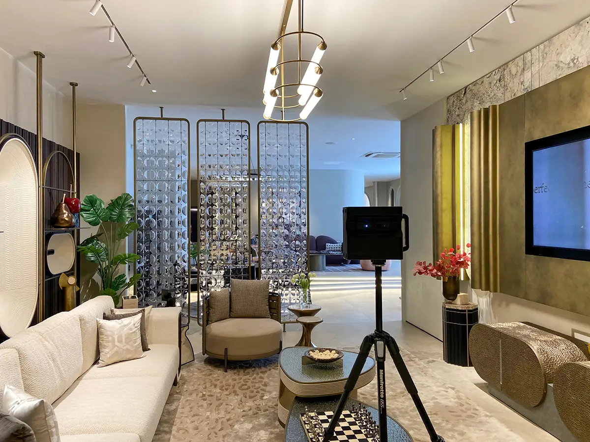
A finished Matterport tour is capable of a lot more than most clients realize is available to them. This is the technical reference for actually using it well: the same techniques built into this site's own embeds, not just theory.
Embed it properly, or it'll slow the whole page down
A raw iframe loads the entire Matterport viewer the instant the page renders: real weight, real delay, whether or not anyone actually opens the tour. The fix is a lazy-load facade: a lightweight static image sits in the tour's place until someone actually clicks it, and only then does the real iframe load. Every embedded tour on this site works exactly this way.
<div class="tour-embed">
  <iframe data-src="https://my.matterport.com/show/?m=YOUR_MODEL_ID"></iframe>
  <button class="tour-facade" aria-label="Load tour">
    <span>Click to explore</span>
  </button>
</div>
A small script swaps the real src in on click. That one change is the difference between a tour that drags down page speed and one that costs nothing until someone actually wants it.
URL parameters worth knowing
&help=0 suppresses the default tutorial overlay, useful for a returning visitor or an embedded context where the tutorial just gets in the way. &ts=2 starts the automated Highlight Reel after a short delay, giving someone a moment of orientation first. &kb=0 disables keyboard navigation entirely, which matters for a kiosk display where unrestricted navigation isn't wanted. &play=1 (forcing autoplay) is worth avoiding on a real website: it burns bandwidth on mobile connections without the visitor asking for it.
To link directly to one specific spot inside a tour, navigate there inside the viewer and press "U." It generates a URL that opens straight to that exact position and orientation.
Getting more out of the same scan
Pressing F9 inside the viewer captures a still image from any point in the model, a practical way to pull additional 2D imagery after the fact, without a second site visit. The dashboard can also generate an automated cinematic video from the same Highlight Reel path, and where it applies, the same data can be pushed into Google Business Profile as Street View imagery.
Adjacent scans can be merged into one continuous model, the exact technique used to stitch the JK Tyre plants into single walkthroughs, since no individual model can exceed roughly 2,000 combined scan points on its own.
A note on third-party overlay tools
Third-party services exist that add custom branding or embedded forms on top of a Matterport tour. One caveat before adopting one: they add real processing overhead and latency on top of what the tour already carries. Embedding directly from Matterport's own domain, the way it's done here, stays the more reliable option.
Actually tracking engagement
Matterport's own dashboard gives limited conversion data on its own. Wiring specific interactions, like a Mattertag click leading to an outbound link, into Google Tag Manager is the real way to see whether a tour is actually driving anything, not just being viewed.
Before you ask
Worth knowing.
Why does a Matterport embed need a lazy-load facade instead of a plain iframe?
A plain iframe loads the full viewer immediately, adding real weight to the page whether or not anyone opens the tour. A facade defers that load until someone actually clicks, which is exactly how every tour embedded on this site works.
Can a tour link directly to one specific room or angle?
Yes. Navigate to that spot inside the viewer and press "U" to generate a URL that opens straight to that exact position.
Should autoplay be turned on for an embedded tour?
Generally not. The &play=1 parameter forces the tour to start loading and playing immediately, which burns real bandwidth on a mobile connection without anyone asking for it.
Start a project
Tell us about the space, and we'll tell you what it'll take.
Most replies come within a day. Most enquiries start with a short email about the space.
Email info@adostrophe.com