Journal · Guide
One scan, every asset.
Published September 7, 2024 · Updated July 19, 2026
The old way of marketing a property meant separate bookings for a photographer, a videographer, and someone to draft a floor plan: three shoots, three invoices, and three sets of visuals that rarely matched each other. One good Matterport scan replaces all three, and everything pulled from it stays visually consistent because it's the same underlying data.
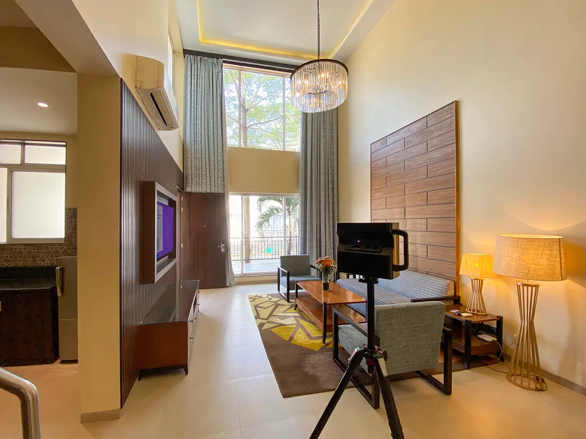
Stills, pulled from the scan itself
High-resolution 2D images can be extracted from any point inside the finished 3D model, not just the angles captured on the day, but any viewpoint within the space at all. That means consistent color and exposure across every image, and the ability to pull a new still later without a second site visit.
A walkthrough video, from the same data
A cinematic walkthrough can be generated along a defined path through the model, particularly useful for Instagram Reels or YouTube Shorts, where a short, moving clip performs very differently than a static photo carousel.
Floor plans: the part that actually takes real work
This is the least glamorous part of the process and the most labor-intensive. A typical 2BHK scan itself takes an hour or two on-site; the editing afterward regularly takes twice that. Blurring faces properly, fixing alignment where the raw scan drifted, building a highlight reel, cleaning up the dollhouse view. Then the floor plan itself: correcting wall thickness where the raw data reads it wrong, placing windows and doors accurately in both the top-down and walkthrough views, and adding invisible walls where needed so a room's dimensions read correctly even where the physical scan data is ambiguous.
One detail specific to the Indian market: a compass gets added to the floor plan, since a meaningful share of buyers care about Vastu orientation when evaluating a property. The finished plan exports to PDF, ready to send directly rather than requiring a separate drafting step.
Google Street View, from the same shoot
Where applicable, the same spatial data can be published to Google Maps directly, which meaningfully helps local search visibility and lets someone start exploring a listing right from the search results, before ever clicking through to a website.
Before you ask
Worth knowing.
How long does a floor plan actually take to finish, not just the scan itself?
For a typical 2BHK, the on-site scan takes an hour or two, but the editing afterward (alignment fixes, wall thickness corrections, accurate door and window placement) regularly takes about twice as long.
Does the floor plan include a compass for Vastu purposes?
Yes. A deliberate addition, since a meaningful share of Indian buyers factor Vastu orientation into their decision.
Can new photos be pulled from a scan after the original shoot?
Yes. High-resolution stills can be extracted from any point inside the finished 3D model, not just the angles captured on the day, without a second site visit.
Related
Where this connects.
Start a project
Tell us about the space, and we'll tell you what it'll take.
Most replies come within a day. Most enquiries start with a short email about the space.
Email info@adostrophe.com