Journal · Guide
How Cortex actually builds a 3D model.
Published November 9, 2024 · Updated July 19, 2026
The walkable dollhouse view is the most visible part of a Matterport tour, but underneath it is a sequence of 360° panoramas, processed by Matterport's own AI engine, Cortex, into a dimensionally accurate space. Understanding how that actually works opens up useful capture strategy.
How Cortex actually builds the model
Every capture uploads as a sequence of panoramas. Cortex compares visual reference points across adjacent panoramas to work out how they relate to each other in space: that's photogrammetry, at its core. When the camera also has a depth sensor (LiDAR or infrared, like the Pro2), Cortex combines that depth data with the visual alignment to build the actual dimensionally accurate mesh, the part that makes a space measurable, not just walkable.
Why panorama-only capture is sometimes the right call
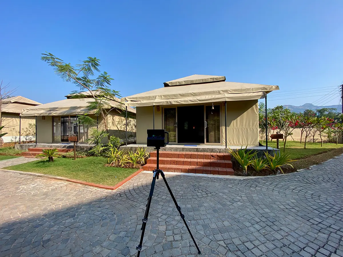
Not every space needs measurement data. A residential amenity space captured for Priya Living in Gurugram, part of an ongoing relationship that's since covered Hyderabad too, is a real example: shot entirely on 360° panoramic hardware, no depth sensor involved. For a space where visual navigation is the actual goal, that's a perfectly reasonable choice, not a compromise. Expansive exteriors, large open venues, or anywhere direct sunlight would interfere with depth sensing are all better served by panorama-only capture than by forcing full geometric scanning where it isn't needed.
Both Priya Living projects also involved working closely with the architects directly, useful context for capture planning that a scan alone wouldn't provide, and a good reminder that this work is rarely just showing up and pressing a button.
The real problem with water
Infrared depth sensors reliably fail over water. The water absorbs the infrared signal instead of reflecting it back, leaving a real gap in the depth data. A swimming pool without any correction shows up as a literal hole in the geometric mesh. Cortex handles this by analyzing the panoramic imagery surrounding the gap and generating a plausible mesh to fill it in. It's not perfect for complex geometry, but for a standard pool shape, it works well enough that most viewers would never notice anything was missing.
Where this data could go next
Spatial photos (a 360° panorama with depth data built in, viewable on headsets like Apple Vision Pro) are a real emerging format, though not something used in any workflow here; Vision Pro hasn't launched in India. Regardless, a space captured today with real depth data attached stays usable if that changes, since the underlying geometry doesn't need to be recaptured to support a newer output format later.
Before you ask
Worth knowing.
What is Cortex, specifically?
Matterport's own proprietary AI processing engine. It aligns panoramas using photogrammetry, and when depth data is available, combines it to generate the dimensionally accurate 3D mesh.
Why would a capture skip depth sensing and use panoramas only?
For spaces where visual navigation matters more than exact measurement: large open venues, expansive exteriors, or anywhere direct sunlight would interfere with a depth sensor. It's a deliberate choice, not a lesser result.
Why do swimming pools sometimes look strange in a 3D scan?
Water absorbs infrared light instead of reflecting it, so depth sensors can't read it properly. Matterport's Cortex engine fills the resulting gap by analyzing the surrounding imagery, which works well for a standard pool shape.
Related
Where this connects.
Start a project
Tell us about the space, and we'll tell you what it'll take.
Most replies come within a day. Most enquiries start with a short email about the space.
Email info@adostrophe.com