Industry · Insurance
An underused category in India, worth explaining plainly.
Property insurers elsewhere use 3D scans for underwriting surveys and claims documentation: a walkable, measurable record of a property's condition at a point in time. That's barely used in India yet, which is as much an opportunity as a gap.
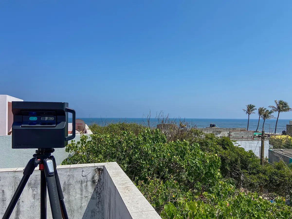
From the capture-program era, the standard here: conditions documented as found, lighting solved on site.
Worth knowing.
Why this matters for underwriting: a Matterport scan is a precise, timestamped, walkable record of a property's condition, covering structural details, existing damage, and safety features, all measurable after the fact without another site visit.
Why this matters for claims: a pre-loss 3D record makes a post-loss claim far easier to evaluate fairly, for both the insurer and the policyholder.
Where this stands today: this is a newer part of the business, not yet backed by insurance-specific client work. I hold IRDAI agent licenses for general insurance (Bajaj Allianz) and life insurance (HDFC Life), and I'm completing a PG diploma in Intellectual Property Law at NLSIU, which should sharpen the compliance side of this considerably. To be precise about scope: those licenses aren't used to sell policies through Adostrophe. The only overlap is being positioned to explain this technology accurately to visitors who are also, separately, insurance-literate. Property-condition documentation done for other purposes, including an accessibility audit across four residential properties, already overlaps with what an underwriting survey needs, even where it wasn't originally commissioned as one.
India specifically
A real wall to climb, not a small gap.
In the US and UK, Matterport tours already have an established role in insurance and legal contexts specifically, and the reason is structural, not just habit. A photograph can be edited: a chair moved out of frame, a patch of mold on a wall retouched away. A Matterport scan can't be edited that way. Blurring for privacy is possible, but selectively erasing or altering the underlying structure isn't, which is exactly why courts and insurers in those markets treat it as dependable evidence rather than just a nicer photo set.
India isn't there yet. Most insurance agents here aren't even aware a 3D virtual tour is an option, and the market still runs on traditional photos and videos by default. That's a genuine barrier to climb, not a minor awareness gap, which is exactly why getting in early is worth doing now rather than waiting for the market to catch up on its own.
What that overlap actually looks like
An unedited record, by nature.
Click to explore this space
This unit, delivered to Priya Living, a US-based client, for entirely separate marketing purposes, is a useful example of why this holds up for insurance specifically. There's no editing involved in a Matterport capture the way there is in photography: no retouching, no staging out a flaw. It's a precise, timestamped record of exactly what existed, at that measurable square footage, on the day of the scan. That's the same property, unmodified, whether it's being used to market a unit or document one.
Available add-ons
For claims and restoration estimating specifically.
The basic version: when an insurance claim involves property damage, an adjuster typically has to measure the affected rooms by hand and sketch them out before they can even start estimating repair costs, a slow, error-prone step that happens before the actual assessment work begins. A Matterport scan of the same space can skip that step entirely, generating an accurate floor sketch automatically from the 3D data instead of a tape measure and a notepad.
The specifics, for anyone who already works in this space: Matterport's TruePlan add-on generates SKX files that import directly into Xactimate, the standard property-claims estimating software, producing accurate sketches without manual measurement. A separate add-on, Matterport Sketch File, generates FML files for direct import into Estimate by Cotality, the equivalent workflow for that platform. Both are existing, available Matterport platform add-ons, not something built in-house here, and available for any project that needs them.
Matterport's own research on this industry is worth a look too: matterport.com/industries.
Before you ask
Insurance, specifically.
Has this been used for an actual insurance policy yet?
Not yet. This page is upfront about that. What exists today is the underlying capability and the relevant licensing, not a portfolio of insurance clients.
What would a typical engagement look like?
Likely a property condition survey ahead of underwriting, or documentation immediately after a loss event for a claim. Worth a direct conversation to scope, given how new this specific use case still is here.
Why bring this to the Indian market now?
Almost nobody else here is offering it, and the underlying technology and licensing both already exist. It's a gap worth filling properly rather than leaving to whoever eventually notices it.
Other industries
The rest of the list.
Start a project
Tell us about the space, and we'll tell you what it'll take.
Most replies come within a day. Most enquiries start with a short email about the space.
Email info@adostrophe.com