Journal · Guide
What's actually possible without professional hardware.
Published February 27, 2021 · Updated July 19, 2026
To be upfront: this is general information about what the Matterport platform allows, not a description of how any project here actually gets captured. Every tour delivered by this business is shot entirely on the Pro2: never a smartphone, never a consumer 360° camera. What follows explains the other options that exist within the wider ecosystem, and why they're not the right tool for the work done here.
The real difference: a visual tour, or a digital twin
This distinction matters more than the hardware itself. A visual tour is navigable and looks good, but carries no real dimensional data. You can walk through it, but you can't rely on a measurement taken from it. A digital twin, built from genuine depth data, is dimensionally accurate enough to support real measurement and floor plan extraction. Everything delivered here is the latter.
Smartphone capture, generally
The Matterport Capture app does support building a walkable model from a phone's own camera, using photogrammetry to stitch sequential shots together. A phone with LiDAR (recent iPad Pro and iPhone Pro models) improves on this with real depth data alongside the visual capture. Reasonably useful for a single small residential unit, or an early training exercise, not for anything where dimensional accuracy actually matters.
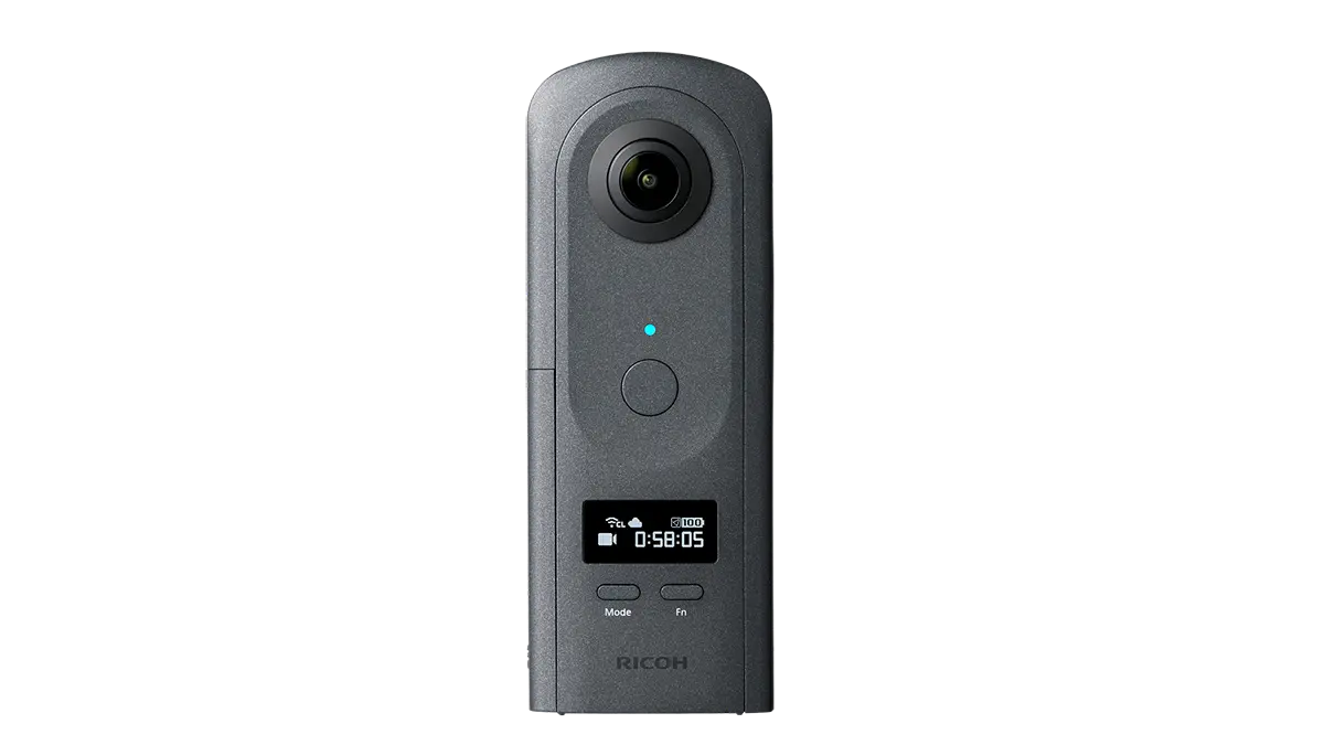
Consumer 360° cameras, generally
A Ricoh Theta or similar 360° camera, paired with the Matterport app, captures a full panorama in one shot instead of the sequential multi-angle process a phone requires, noticeably faster. Reasonable for a basic Google Business Profile listing or a simple real estate walkthrough where visual context matters more than precise geometry. The output still doesn't carry true depth data, and low-light performance is generally weaker than dedicated professional hardware.
Why the actual work here stays on the Pro2
Manufacturing plants, hotel ballrooms, museum galleries, accessibility audits: none of that is well served by a visual tour that can't be measured. The Pro2's 135-megapixel imagery and real depth sensing is what makes a tour dimensionally dependable, which is the entire point of documenting a space rather than just photographing it.
Before you ask
Worth knowing.
Is a smartphone or 360° camera ever used for a real project here?
No, never. Every tour delivered here is shot on the Matterport Pro2 exclusively. This information describes the wider Matterport platform generally, not this business's own methods.
What's the real difference between a visual tour and a digital twin?
A visual tour is navigable but carries no true dimensional data. A digital twin, built from real depth data, is accurate enough to support genuine measurement and floor plan extraction.
When would consumer hardware actually be a reasonable choice?
For a basic Google Business Profile listing or a simple single-unit walkthrough where visual context matters more than precise measurement. Not for anything requiring dimensional accuracy.
Start a project
Tell us about the space, and we'll tell you what it'll take.
Most replies come within a day. Most enquiries start with a short email about the space.
Email info@adostrophe.com